Showing posts with label > Agriculture and Livestock. Show all posts

18/09/2022

JORDAN


JORDAN / الأردنّ

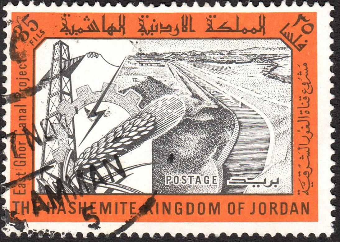
East Ghor Canal Project.
Last stamp in a stamp of 5, issued on 20.09.1963.
Face value: 35 Jordanian fils.
Printing: Offset lithography.
Size: 42 x 31 mm.

Catalogs
- Michel No. 394.
- Scott No. 404.
- StampWorld No. 399.
- Stanley Gibbons No. 536.
- Yvert et Tellier No. 372.

The East Ghor Canal (Arabian: قناة الغور الشرقية), renamed King Abdullah Canal (قناة الملك عبدالله) in 1987, is the largest irrigation canal system in Jordan and runs parallel to the east bank of the Jordan River. Its main water source is the Yarmouk River and the Al-Mukhaibeh wells within the Yarmouk valley: farther south, additional water flows from Wadi el-Arab and from the Zarqa River. The canal’s design capacity is 20 m3/second at the northern entranceand 2.3 m3/second at its southern end. Water flows by gravity along its 110 km (68.35 mi) length, ranging in elevation from about 230 m (755 ft) below sea level to almost 400 m (1,312 ft) below. The Canal supplies water for irrigation and 90 million cubic meters/year of drinking water for Greater Amman through the Deir Allah-Amman carrier, which has been constructed in two phases in the mid-80s and in the early 2000s. The canal was designed in 1957 and was built in phases. Construction began in 1959, and the first section was completed in 1961. By 1966, the upstream portion to Zarqa River was completed. The canal was then 70 km (43.5 mi) in length, and was subsequently extended three times between 1969 and 1987.

23/07/2022

COSTA RICA


COSTA RICA.

Economic development and social progress.
Irrigation canal in Guanacaste.
Airmail. Last stamp in a set of 10, issued on 05.05.1982.
Face value: 4.05 Costa Rican colones.
Printed by Casa Gráfica, San José.
Printing: Offset lithography.
Size: 35 x 35 mm.

Catalogs
- Michel No. 1159.
- Scott No. C871.
- StampWorld No. 1164.
- Stanley Gibbons No. 1263.
- Yvert et Tellier No. PA852.

Guanacaste (Nahuatl: Kwahnakastlan) is a province of Costa Rica located in the northwestern region of the country, along the coast of the Pacific Ocean. It is bordered by Nicaragua to the north. The province covers an area of 10,141 km2 (3,915 sq mi) and as of 2022, had a population of 404,774. Guanacaste's capital is Liberia. In pre-Columbian times, most of the province's territory was part of the Kingdom of Nicoya (Nahuatl: Nekok Yaotl). Since 1787, a large part of the territory of the current province was a Spanish colonial political-administrative unit with the name of Partido de Nicoya; Through a plebiscite held on July 25, 1824, said territory decided to join the State of Costa Rica, and in 1835 it was renamed the Department of Guanacaste. In the 1980s, infrastructures began to be built, such as the canal represented on the stamp, to favor the development of agriculture. Currently, the economy of the province is based mainly on tourism and agricultural activities.

04/05/2022

PORTUGAL - Azores


PORTUGAL - Azores.

The Heritage of the Azores.
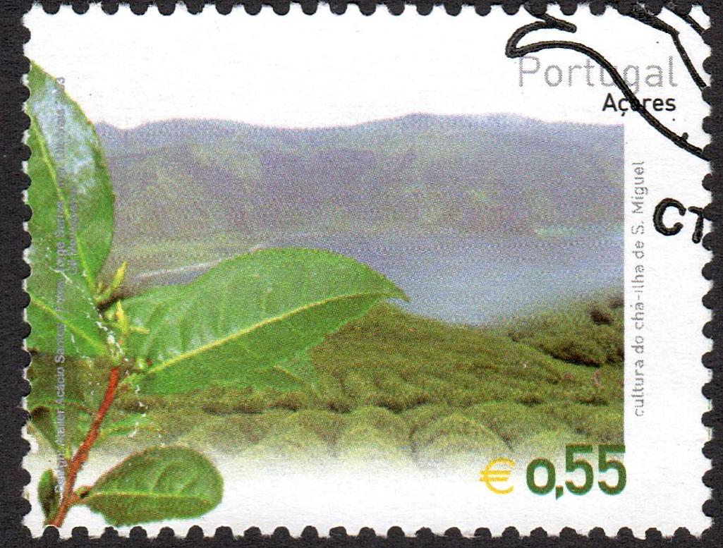
Tea culture in São Miguel Island.
Third stamp in a set of 4, issued on 06.06.2003.
Face value: 0.55 euro.
Design: Acácio Santos and Elizabete Fonseca.
Printed by Litografia Maia, Matosinhos (Porto).
Printing: Offset lithography.
Print: 250,000 copies.
Size: 40 x 31 mm.

Catalogs
- Afinsa-Mundifil No. 2991.
- Michel No. 497.
- Scott No. 476.
- StampWorld No. 476.
- Stanley Gibbons No. 594.
- Unificato No. 165.
- Yvert et Tellier No. 487.

São Miguel Island, nicknamed Ilha Verde ("The Green Island"), is the largest and most populous island in the Portuguese archipelago of the Azores. It covers 760 km2 (290 sq mi) and has around 140,000 inhabitants, with 45,000 people residing in Ponta Delgada, the archipelago's largest city. On the island are the first plantations and the only two agro-industrial tea production units in Europe: Porto Formoso and Gorreana. The tea plant, coming from Brazil, was introduced in São Miguel in the first decades of the 19th century, and at the beginning of its cultivation Chinese farmers arrived from Macau.

15/02/2022

CHINA REPUBLIC (Taiwan)


REPUBLIC OF CHINA (Taiwan) / 中華民國 (臺灣)

Inauguration of Shihmen Reservoir.
Irrigation Canal.
Second stamp in a set of 4, issued on 14.06.1964.
Face value: 1 Taiwanese new dollar.
Design: Lin Yuan-shen.
Printing: Photogravure.
Print: 1,500,000 copies.
Size: 38.5 x 28 mm.

Catalogs
- Michel No. 531.
- Scott No. 1409.
- StampWorld No. 531.
- Stanley Gibbons No. 509.
- Yvert et Tellier No. 473.

Shihmen Reservoir (石門水庫) is formed by the dam of the same name on the Dahan River near Taoyuan City. It provides irrigation in Taoyuan, flood control for the Taipei Basin, and hydroelectricity and domestic water supply for more than three million people in northern Taiwan. Construction of the dam began in July 1955 and was inaugurated on June 14, 1964. It has an area of 8 km2 (3.09 sq mi) and a capacity of 309,120,000 m3. Its construction forced the displacement of some 2,000 people who lived on the banks of the river. Some 27 km (17 mi) of canals were added to the existing irrigation system, including the new Shihmen Canal (represented in the stamp), which totals 175 km (109 mi).

06/12/2021

ITALY


ITALY / ITALIA.

Completion of the Flumendosa - Mulargia Irrigation System.
Map of Sardinia, Nuraghe Arrubiu dam, and peasant.
Stamp issued on 01.02.1958.
Face value: 25 Italian lire.
Design: Corrado Mancioli (1904-1968) & Amilcare Santini (1910-1975).
Engraving: Mario Colombati (1912-?).
Printed by Istituto Poligrafico dello Stato, Officina Carte e Valori, Roma.
Printing: Recess.
Print: 10,000,000 copies.
Size: 40 x 24 mm.

Catalogs
- Michel No. 1004.
- Sassone No. 826.
- Scott No. 738.
- StampWorld No. 980.
- Stanley Gibbons No. 961.
- Unificato No. 826.
- Yvert et Tellier No. 753.

The Flumendosa is a river of southern Sardinia. With a length of 127 km (79 mi), it is the second longest river of the island behind the Tirso. Its springs are located in the Gennargentu massif, at the foot of the Monte Armidda; it flows into the Tyrrhenian Sea. Its path is barred at two different points by massive dams. The first dam, built between 1948 and 1949, forms the Upper Flumendosa Lake. The second dam, built between 1952 and 1958 at the height of the Nuraghe Arrubiu, is used for the production of electricity and irrigation. A 6 km (3.73 mi) long tunnel connects it to the nearby lake Mulargia, where a system of water pipes begins, partly in the tunnel and partly on the surface, which carries water to irrigate the plain at the Campidano di Cagliari and to supplying drinking water to the city of Cagliari and about forty smaller towns.

-
Thanks to Fadda Giuseppe for his contribution.

01/09/2021

MADAGASCAR


MADAGASCAR (French Colony).

FIDES (Social and Economic Development Fund).
Irrigation channels for rice cultivation.
Last stamp in a set of 4, issued on 22.10.1956.
Face value: 15 French African CFA francs.
Design and engraving: Claude Hertenberger (1912-2002).
Printing: Recess.

Catalogs
- Michel No. 434.
- Scott No. 295.
- StampWorld No. 483.
- Stanley Gibbons No. 336.
- Yvert et Tellier No. 330.

Rice is a staple food for the inhabitants of Madagascar, which is why it is grown in many places in the north-central part of the country: on terraces in the highlands or on irrigated land in other areas, especially near the coasts. This led to the construction of canals to facilitate irrigation, especially in the east of the island, from the 1950s, during the French colonization.

12/05/2021

PERU


PERU / PERÚ.

Definitive stamps.
Písac Inca Terraces, Cusco.
Fourth stamp in a set of 8, issued on 01.01.1966.
Face value: 0.50 Peruvian soles.
Printing: Offset lithography.
Printed by I.N.A. [Imprenta Nacional de Austria], Österreichische Staatsdruckerei, Wien.
Size: 38 x 30 mm.

Catalogs
- Bustamante No. 533.
- Michel No. 661.
- Scott No. 500.
- StampWorld No. 649.
- Stanley Gibbons No. 924.
- Yvert et Tellier No. 481.

The Písac National Archeological Park (in Quechua: P'isaq) is an important complex of the Sacred Valley of the Incas, more than 3,000 m (9,850 ft) high, located in the province of Calca, 30 km (18.65 mi) from the city of Cusco. Among the most important elements of the place are the Andenes (agricultural terraces) of Acchapata, a set of 40 terraces that were used for the cultivation of corn, which form an inverted triangle.